
Cre8te 360 Virtual Tours
Cre8te 360 | Measured Building Surveys & Digital Twins

360 VIRTUAL TOUR & DIGITAL TWIN CREATORS
USING LIDAR TECHNOLOGY
Interactive 360° Virtual Tours & Commercial Photography
Immersive Visual Experiences & Reality Capture in Preston, Lancashire & Across the UK
Cre8te360 creates professional, interactive 360° virtual tours and commercial photography for businesses, property agents and organisations across Preston, Lancashire and the UK.
Our immersive virtual tours allow customers, prospective tenants and project teams to explore commercial interiors, offices, warehouses and other properties remotely. Tours can be embedded into websites, shared with clients and enhanced with interactive information, photographs and video.
Alongside our photography services, we also offer LiDAR scanning and reality capture for commercial properties. Using specialist scanning equipment, we can provide 3D point-cloud data, including E57 exports, to support measured building surveys, CAD drawings and refurbishment planning.
Specialist Sectors :
-
Education & Healthcare Campuses
-
Heritage & Tourism Destinations
Click to View
Which Businesses Can Benefit From Immersive Virtual Experiences

Offices

Warehousing
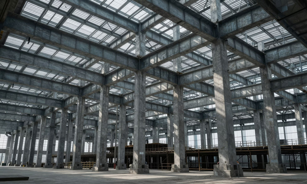
Industrial
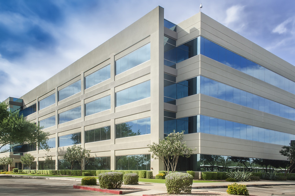
Commercial Real Estate

Education Campuses

Tourism & Heritage Buildings

Leisure

Showrooms


Interactive 360 Site Walkthrough Examples

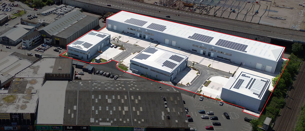


360° Virtual Tours for Architects & Designers
Interactive 360° virtual tours give architects and designers a convenient way to revisit existing buildings throughout the design process.
Our high-resolution panoramic photography provides a detailed visual record of interiors, helping project teams review layouts, building features and visible services without repeatedly returning to site.
For projects requiring accurate spatial information, we can also provide LiDAR scanning and 3D point-cloud data to support measured building surveys, CAD drawings and refurbishment planning.
Combining visual walkthroughs with measured survey information helps designers understand existing conditions and communicate proposals more effectively.

360° Virtual Tours for Design & Build Contractors
Our interactive 360° virtual tours help design and build contractors document existing premises, communicate with clients and coordinate commercial refurbishment and fit-out projects.
Detailed panoramic imagery allows project teams to revisit site conditions remotely, review visible building services and share information with subcontractors during planning and construction.
Where accurate measurements are required, LiDAR scanning can provide additional spatial data to support CAD drawings, layout planning and the preparation of refurbishment proposals.
Virtual walkthroughs can also be used to record project progress and showcase completed interiors to prospective clients.


